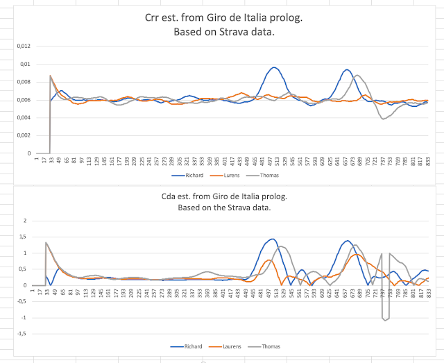
The New Elevation Correction Feature (NASA SRTM data)
If you are starting and ending your ride at the same location with different altimeter readings, you know something is off with the altimeter. From my personal Cda & Crr testing the altimeters can be quite inconsistent, especially in some climates. Some days the altimeter is working fine, but other days it is just a steady line or drifting. Therefore, I have in the last couple of months worked on implementing an Elevation Correction feature.
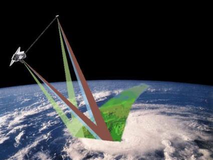
My goal here has been to be able to obtain the elevation correction values live while cycling outside, so your on the fly estimations is not affected by the inconsistent altimeter readings. NASA has released an open source dataset of nearly the whole world called SRTM. It consists of elevation readings in a high-resolution digital database. It is astonishing what they have achieved.
My goal here has been to be able to obtain the elevation correction values live while cycling outside, so your on the fly estimations is not affected by the inconsistent altimeter readings. NASA has released an open source dataset of nearly the whole world called SRTM. It consists of elevation readings in a high-resolution digital database. It is astonishing what they have achieved.
By using this SRTM data I have been able to accurately obtain elevation data across the whole globe. The Android phone app will download the data and calculate the elevation locally. Anyway, I still think its best to use the internal altimeter if you can, but if you are experiencing inconsistent result this new Elevation Correction feature might be a better fit for you!

Comments
Post a Comment